

Our History
Shandong Surveying Information Technology Co., Ltd. is a professional manufacturer and one-stop supplier of surveying and mapping instruments, with nearly 20 years of industry experience. We specialize in the production of RTK receivers, automatic levels, total stations and theodolites, and also act as an authorized agent for multiple well-known industry brands, covering a full range of engineering surveying tools, measuring instruments and experimental equipment. We integrate production, global trade, technical support and after-sales service, committed to providing global customers with high-quality products and professional solutions. We look forward to cooperating with you!
Our Product
GNSS RTK,SLAM,Total Station,Theodolite,Auto Level,Rotary Laser Level,Tape Measure,Concrete Testing Equipment,Prism,Leveling Staff,Tripod


Product Application
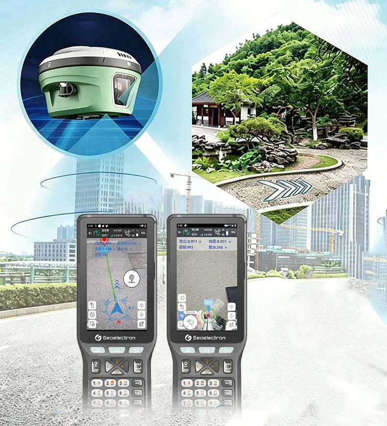
High-precision real-time positioning and coordinate determination
Engineering stakeout (roads, bridges, pipelines, building axes, pile positions)
Topographic mapping and detail point collection
Cadastral surveying and boundary mark determination
Construction control network establishment and elevation datum transfer
UAV navigation and ground base station integration
Agricultural autosteering and laser land leveling
Large-area deformation monitoring (bridges, foundations, dams, building settlement)
Control surveying (traverse, trigonometric heighting, leveling network)
Building stakeout and construction elevation control
Road alignment and gradient control
Industrial measurement and large-component positioning
Accident scene and emergency rapid 3D mapping
Angle transfer, line alignment, and tunnel heading direction control
Verticality checking for precision installations (rails, towers, equipment bases)
Triangulation network surveying (with distance measurement)
Site grading and concrete screed leveling
Settlement observation (buildings, subways, embankments, roadbeds)
Indoor 3D mapping (shopping malls, underground garages, factories)
Tunnel, mine roadway, and pipe gallery modeling
Historical building and archaeological digitization
Robot navigation (AGV, drones)
Reverse engineering (with laser scanning)
Rapid emergency scene mapping (fire scenes, collapses)
Interior decoration and horizontal control for floors and ceilings
Floor and paving leveling control
Horizontal installation of large equipment
River and reservoir longitudinal section surveying
Legacy equipment or educational use (for theodolite, level)
Our Certificate


Production Market
